Geofencing Protocols and Their Influence on Automated Remittance Timing in Regional Agricultural Supply Chains

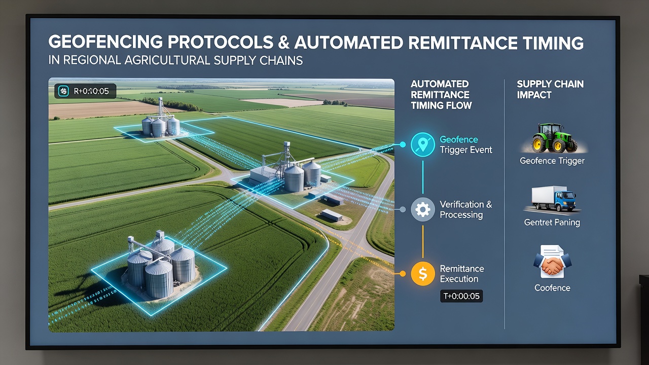
Geofencing protocols establish virtual perimeters around specific locations using GPS, RFID, and cellular data to trigger automated actions when assets cross defined boundaries, and in regional agricultural supply chains these systems directly control the timing of remittance releases to suppliers and transporters. Agricultural operations often span multiple jurisdictions where produce moves from farms through processing facilities to distribution points, and location-based triggers allow payment systems to activate only after verification that goods have reached predetermined checkpoints.
Regional networks in areas like sub-Saharan Africa and parts of Southeast Asia rely on these protocols to synchronize disbursements with physical movement of commodities such as grains, fruits, and livestock feed. When a delivery vehicle equipped with compatible tracking enters a geofenced zone around a warehouse or export terminal, the protocol signals integrated financial platforms to initiate transfers without manual intervention.
Core Mechanisms of Geofencing in Agricultural Logistics
Protocols operate through layered data inputs that combine satellite positioning with device telemetry, and accuracy levels reported in field tests reach within 10 to 15 meters under optimal conditions. Supply chain managers configure boundaries around critical nodes including collection points, cold storage units, and regional borders, while redundant signals from multiple satellites reduce false triggers caused by signal drift. Automated remittance timing benefits because payments release only after confirmation that produce has arrived at the next stage, which minimizes disputes over delivery status and aligns cash flow with actual inventory updates.
Data from coordinated projects in 2025 showed that geofence-triggered systems reduced average remittance delays from 72 hours to under 12 hours in monitored corridors, and integration with blockchain ledgers further secured the sequence by logging each boundary crossing as an immutable event. Observers note that these setups prove especially useful in regions where seasonal weather disrupts traditional reporting methods, since location data continues to flow regardless of road conditions.
Impact on Timing Across Different Regional Networks
In East African cooperatives handling coffee and tea exports, geofencing aligns payouts to smallholder groups with arrival at certified collection hubs, and similar patterns appear in South American grain belts where soybean shipments trigger bank transfers upon entering port facilities. European Union agricultural programs have tested comparable frameworks along Mediterranean produce routes, where compliance wth phytosanitary rules coincides with geofence activations that release funds to transporters.
June 2026 marked the rollout of updated protocol standards across several ASEAN agricultural corridors, incorporating enhanced multi-source verification that incorporates both terrestrial beacons and satellite augmentation to handle dense canopy interference common in tropical farming zones. These changes refined remittance timing further by allowing conditional releases based on secondary factors such as temperature logs collected inside geofenced cold chain segments.
Integration with Existing Financial and Compliance Systems
Financial institutions embed geofencing rules into their application programming interfaces, so that remittance engines query location services before authorizing transfers. This approach connects directly with regional banking regulations that require proof of delivery for cross-border agricultural payments, and it reduces manual audits because each transaction carries embedded geospatial metadata. Researchers tracking adoption rates report steady increases among mid-sized cooperatives that previously depended on paper-based verification, while larger exporters combine the protocols with enterprise resource planning software to maintain continuous visibility.
Regulatory bodies in Canada and Australia have issued guidance documents outlining minimum accuracy thresholds and data retention periods for location-triggered remittances, and these frameworks encourage interoperability between different technology providers. Supply chain participants gain predictability because timing becomes deterministic rather than dependent on periodic status reports submitted by drivers or agents.
Challenges and Adjustments in Protocol Deployment
Signal interference from terrain features or equipment malfunctions occasionally produces missed triggers, and operators address this through fallback procedures that include manual overrides logged with timestamps and secondary verification methods. Privacy considerations arise when continuous tracking extends beyond commercial vehicles to include worker devices, prompting some networks to limit geofence data collection to asset tags only. Studies conducted by international agricultural research centers indicate that training programs for local operators improve protocol reliability by teaching calibration techniques suited to specific regional environments.
Adjustments continue as networks expand coverage to include last-mile distribution points where smaller vehicles operate, and hybrid models that blend geofencing with weight-based sensors at checkpoints provide additional confirmation layers. These refinements maintain the core function of synchronizing remittance timing with verified physical progress through the supply chain.
Conclusion
Geofencing protocols continue to shape automated remittance timing by anchoring financial releases to precise location events within agricultural supply chains, and ongoing refinements in verification methods support broader adoption across varied regional contexts. Data collected through these systems offers supply chain participants measurable improvements in coordination between physical movement and payment flows.